Spatial Analysis
Analyze any type of data with Sourcetable. Talk to Sourcetable's AI chatbot to tell it what analysis you want to run, and watch Sourcetable do the rest.

Introduction
Spatial analysis examines geographic patterns and relationships in data to support decision-making across industries. Traditional methods have relied on Excel's basic capabilities for data preparation and visualization, including converting coordinates to decimal degrees and creating CSV files for GIS tools. While Excel can handle simple spatial tasks, it requires extensive knowledge of functions and features for complex geographic analysis.
Sourcetable offers an AI-powered alternative that modernizes spatial analysis through natural language. Rather than navigating complex Excel functions, users simply tell Sourcetable's AI chatbot what analysis they want to perform. The platform accepts data uploads of any size and connects to databases, eliminating the technical barriers of traditional spreadsheet tools.
For analysts working with geospatial data, Sourcetable's AI assistant can automatically generate analyses, create visualizations, and explore patterns - all through simple conversation instead of manual spreadsheet work. Start exploring Sourcetable's AI-powered spatial analysis tools today at https://app.sourcetable.cloud/signup.
Why Sourcetable Is Superior for Spatial Analysis
Sourcetable transforms spatial analysis through its AI-powered interface, eliminating the need for complex Excel functions and manual data processing. Unlike Excel, Sourcetable lets you analyze spatial data through natural conversation with an AI chatbot, making advanced analysis accessible to users of all skill levels.
Enhanced Accuracy and Automation
Sourcetable's AI capabilities automate spatial data analysis tasks that would require multiple manual steps in Excel. Simply upload your spatial data files or connect your database, then tell the AI chatbot what analysis you need. The AI handles everything from data processing to pattern discovery.
Natural Language Interface
Instead of learning complex Excel formulas and functions, Sourcetable lets you analyze spatial data through simple conversations. Tell the AI what insights you're looking for, and it will generate the appropriate analysis, visualizations, and reports instantly.
Advanced Visualization and Collaboration
While Excel requires manual chart creation and formatting, Sourcetable's AI automatically generates stunning visualizations from your spatial data. Simply describe the visualization you want, and the AI creates it. Whether you're analyzing geographical patterns or creating spatial reports, Sourcetable's AI streamlines the entire process.
Try Sourcetable For Free
Analyze anything with Sourcetable AI. Tell Sourcetable's AI spreadsheet what to analyze. Watch Sourcetable do the rest.
Try for free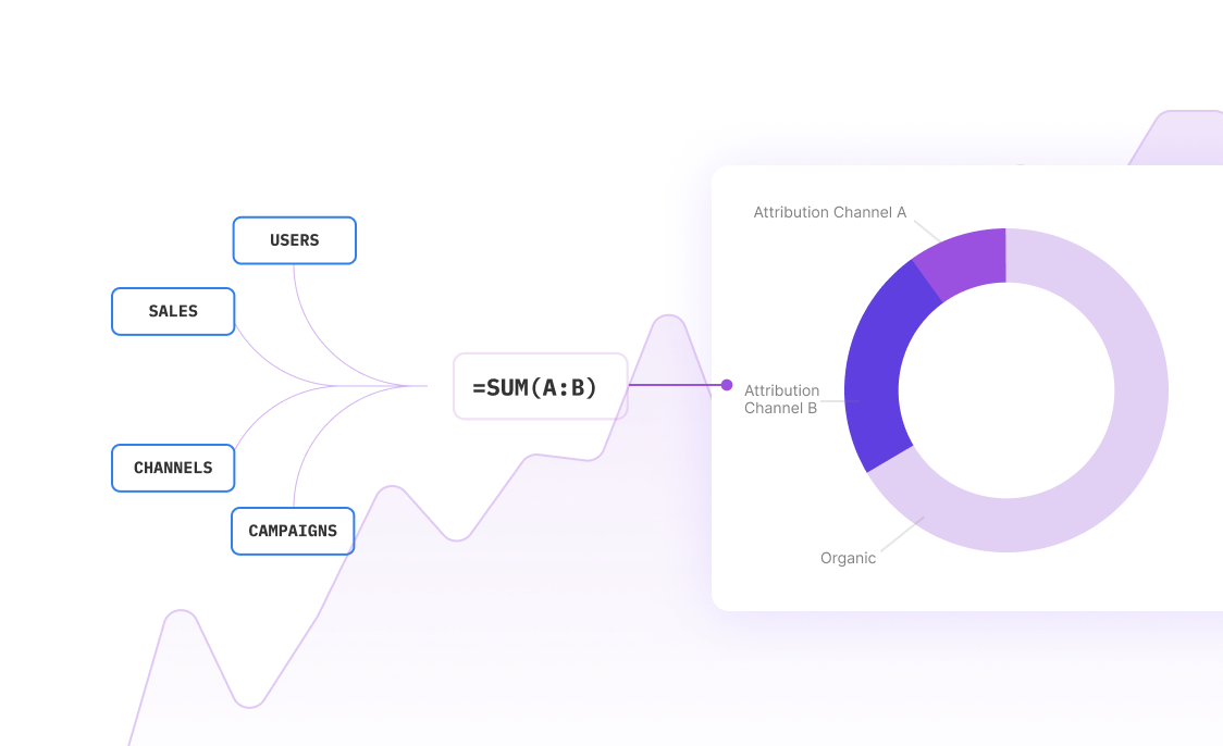
Benefits of Spatial Analysis with Sourcetable
Advantages of Spatial Analysis
Spatial analysis in GIS empowers decision-making across industries, from routine business operations to global disaster relief efforts. Through georeferencing technology and satellite data capture, it provides insights into remote locations while processing vast data volumes instantly. GIS analysis reveals multiple situational aspects, enabling both current assessment and future planning.
Sourcetable's AI-Powered Solution
Sourcetable revolutionizes spatial analysis with its AI chatbot interface, eliminating the complexities of traditional spreadsheet functions. Users can simply describe their analysis needs in natural language, and Sourcetable's AI generates results instantly. Whether analyzing uploaded files or connected database data, Sourcetable streamlines the entire process from data processing to visualization.
Advanced Visualization Options
Spatial analysis offers diverse visualization methods including point maps, proportional symbol maps, and choropleth maps. Specialized formats like hexagonal binning maps and time-space distribution maps effectively represent temporal and geographical data patterns. When modifying data types, duplicating datasets ensures analysis integrity.
Spatial Analysis Examples with Sourcetable: A Modern Excel Alternative
Sourcetable's AI-powered interface simplifies complex spatial analysis through natural language commands. Users can simply tell the AI chatbot what insights they need, and Sourcetable performs the analysis on uploaded files or connected database data.
Agriculture Applications
For agricultural analysis, Sourcetable's AI can process satellite imagery data to predict crop yields, analyze soil conditions, and track livestock behavior. Users need only describe their analytical goals to the AI chatbot, which then generates the appropriate visualizations and insights.
Urban and Environmental Management
Urban planners and environmental managers can analyze ecosystem data and disaster warning systems by conversing with Sourcetable's AI. The platform translates natural language requests into comprehensive spatial analysis, revealing patterns and trends in geographic data.
Business Intelligence
Supply chain and logistics professionals can optimize operations by simply describing their spatial analysis needs to Sourcetable. The AI processes geographic data to reveal location-based patterns and generates actionable insights through intuitive visualizations.
Scientific Applications
Scientists working in astronomy, semiconductor manufacturing, and healthcare can leverage Sourcetable's AI to analyze spatial data through simple conversation. The platform translates complex analytical requirements into clear visualizations and predictive insights.
Spatial Analysis Use Cases with Sourcetable
Urban Development Pattern Analysis |
Analyze urban development patterns by uploading GIS data to Sourcetable and using AI-powered chat to identify spatial relationships and development trends. Simply ask Sourcetable's AI to analyze your city planning data and generate visualizations. |
Disease Mapping and Prediction |
Create disease spread models by connecting your epidemiological database to Sourcetable. Use natural language commands to process spatial health data and generate predictive visualizations of disease patterns. |
Agricultural Yield Optimization |
Predict crop yields by uploading satellite imagery and climate data files. Let Sourcetable's AI analyze multiple datasets and create comprehensive yield forecasts through simple conversational commands. |
Livestock Movement Tracking |
Monitor livestock patterns by importing spatial tracking data. Ask Sourcetable's AI to detect movement patterns and create visualizations that optimize grazing area management. |
Farm Pest Management |
Predict pest outbreaks by analyzing climate and crop data through natural language queries. Direct Sourcetable's AI to create risk maps and management strategies from your uploaded datasets. |
Frequently Asked Questions
What is Spatial Analysis and what are its key characteristics?
Spatial Analysis involves analyzing geospatial data, which includes positioning information and address data. It can be used to collect, process, and render geographic information to understand spatial relationships and patterns.
What are the main uses of Spatial Analysis in data analysis?
Spatial Analysis can be used to solve complex location-oriented problems, explore data from a geographic perspective, determine relationships, detect and quantify patterns, assess trends, and make predictions and decisions.
How can you perform Spatial Analysis effectively in Sourcetable?
In Sourcetable, you can perform Spatial Analysis by simply uploading your data files or connecting your database and telling the AI chatbot what analysis you want to perform. The AI will automatically process your geospatial data, create visualizations, and generate insights, making complex spatial analysis as simple as having a conversation.
Conclusion
Excel offers robust tools for spatial analysis, including coordinate conversion to decimal degrees, Well Known Text (WKT) formatting for GIS, and CSV file preparation for QGIS and Google Earth Pro. While Excel excels at manual analysis and smaller datasets, Sourcetable offers an AI-powered alternative that simplifies complex spatial data work. Instead of learning Excel functions and features, you can use Sourcetable's AI chatbot to analyze your geographic data, create visualizations, and generate insights from files of any size. Whether you're a GIS professional or new to spatial analysis, you can leverage Sourcetable's conversational AI interface to perform spatial analysis efficiently - no Excel skills required. Try Sourcetable's AI-powered spatial analysis tools at https://app.sourcetable.cloud/signup.
Try Sourcetable For Free
Analyze anything with Sourcetable AI. Tell Sourcetable's AI spreadsheet what to analyze. Watch Sourcetable do the rest.
Try for free
Analyze Anything With AI
Analyze anything with Sourcetable. Talk to Sourcetable's AI chatbot to tell it what analysis you want to run, and watch Sourcetable do the rest. Sign up to get started for free.